SIATeG : Semaine de l'Intelligence Artificielle et des Technologies Géospatiales - SIATeG 2024

La Semaine de l'Intelligence Artificielle et des Technologies Géospatiales (SIATeG) est un événement organisé pour la première fois au Niger, à Niamey, du 27 au 29 novembre 2024. Il est initié par la société GeoMinds Africa en partenariat avec Deep Learning Indaba et Piloté par la communauté d’intelligence artificielle du Niger (IndabaX Niger community).
Le thème de cette première édition 2024 est : « Intelligence Artificielle et Technologies Géospatiales : Catalyseurs de Progrès et de Durabilité pour les pays africains ». L’objectif est de mettre en lumière le rôle stratégique de ces technologies dans le développement durable, la gestion des ressources naturelles et la planification territoriale, particulièrement dans le contexte africain et nigérien.
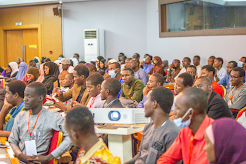
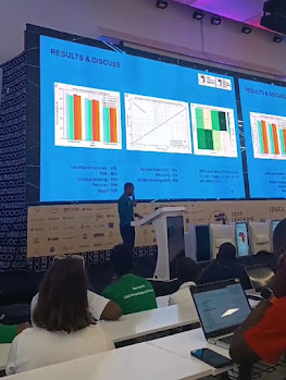
Durant cet événement de trois jours, les participants ont bénéficié d’ateliers pratiques, de panels de discussion et de conférences animés par des experts nationaux et internationaux. Ces activités ont permis de renforcer les compétences locales, de stimuler l’innovation et de favoriser la collaboration entre les secteurs public, privé et académique. Le hackathon, moment fort de l’événement, a mis en lumière la créativité et le dynamisme des jeunes talents nigériens.


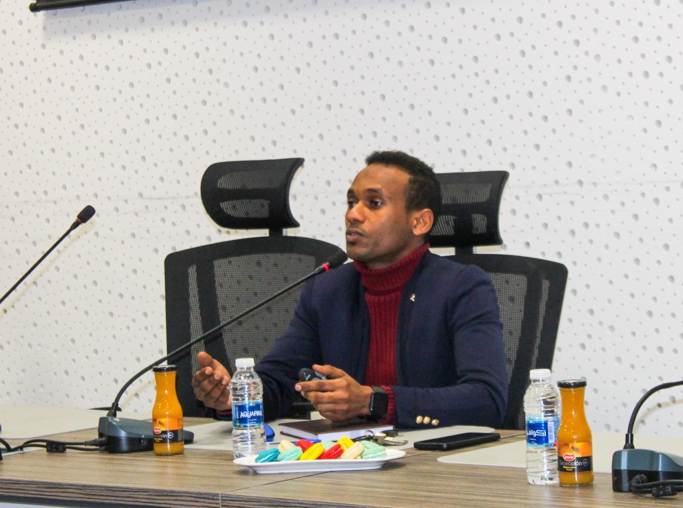
Le ministre de la Communication, des Postes et de l’Économie Numérique, son excellence Mr. Sidi Mohamed Raliou, a souligné que SIATeG n’est pas seulement une célébration technologique, mais une opportunité de réflexion collective sur l’intégration de ces outils dans le développement national. Il a insisté sur le fait que l’intelligence artificielle et les technologies géospatiales sont des leviers essentiels pour un progrès durable et une transformation numérique inclusive au Niger.
Le Directeur Général de l’Agence National de Société d’Information (ANSI), Ali Salatou Adji, a rappelé que ces technologies s’alignent avec les missions de modernisation et d’innovation de l’agence, et qu’elles sont cruciales pour créer un écosystème numérique dynamique et soutenir l’émergence de startups technologiques locales.
Pour ma part, Dr Barkawi Mansour en tant promoteur de SIATeG et fondateur de GeoMinds Africa, j’ai voulu que SIATeG soit une plateforme inclusive où se conjuguent savoir-faire, innovation et vision stratégique. Cette semaine marque un pas décisif vers un Niger innovant, durable et inclusif, capable d’exploiter pleinement le potentiel de l’intelligence artificielle et des données géospatiales pour bâtir un avenir meilleur. SIATeG est une initiative majeure qui place le Niger au cœur des enjeux technologiques mondiaux, en valorisant l’intelligence artificielle et les technologies géospatiales comme des outils clés pour le développement durable et l’innovation en Afrique.
Je remercie tous les partenaires, intervenants et participants qui ont contribué au succès de cette première édition. Ensemble, nous ouvrons la voie à une nouvelle ère technologique au service du développement africain.
Référence:
- https://www.lesahel.org/economie-numerique-lancement-ce-jour-a-niamey-des-activites-de-la-semaine-de-lintelligence-artificielle-et-des-technologies-geospatiales/
- https://www.anp.ne/niamey-ouverture-de-la-semaine-de-lintelligence-artificielle-et-des-technologies-geospatiales-siateg/
- https://www.aib.media/regions/2024/11/27/le-niger-organise-une-semaine-de-lintelligence-artificielle-et-des-technologies-geospatiales/
- https://www.journalduniger.com/niger-lia-et-les-geotechnologies-au-service-du-developpement/
- https://www.linkedin.com/feed/update/urn:li:activity:7268016303737655297
#ANSI #GeoMindsAfrica #IndabaX Niger community


.jpeg)
.jpeg)


